no credit card · or upload photos you already have
What it costs today to find out how many square metres a roof has
from €350
A drone inspection with an operator who comes out to the site costs a few hundred euros. Italian price lists run from €350 to €800, and you still have to find a date that suits you both.
—
With your own drone and this app. Nobody to call, no date to arrange: you fly when you need to.
The inspection prices are public price lists from Italian operators, collected in August 2026. The drone is not included: a suitable model costs around €200.
Three steps, and nothing else
You don't need to know how to fly: the drone follows the outline you drew with your finger. And if you already have the photographs, you skip straight to processing.
01
Draw the area, or upload photos
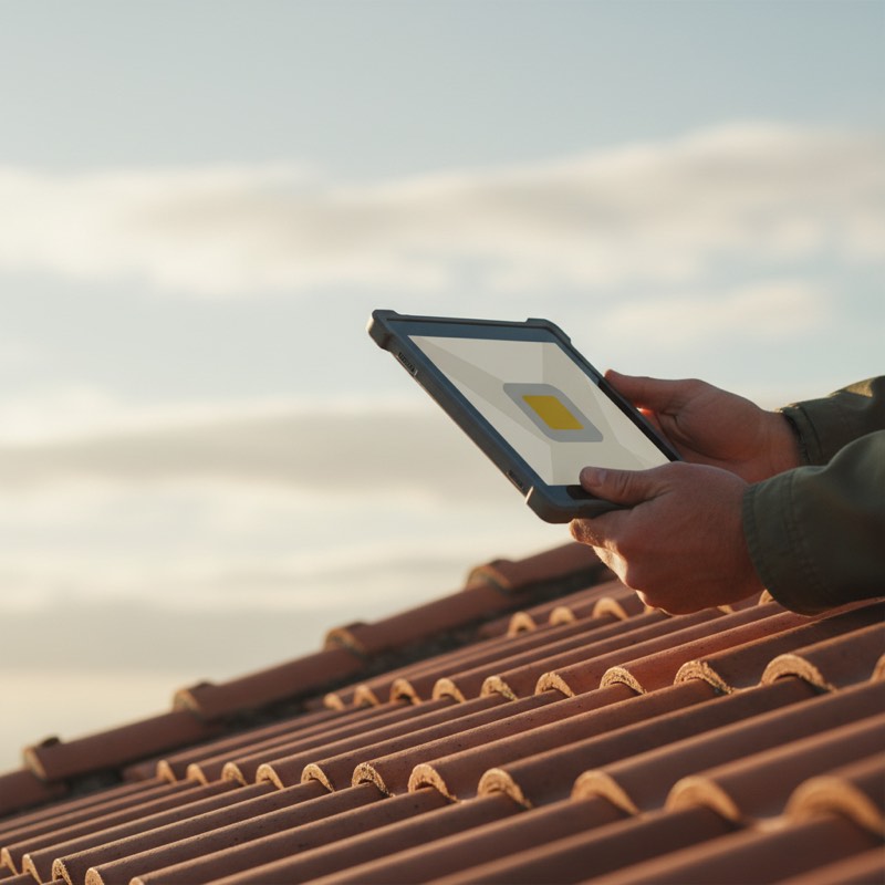
Open the app in front of the building and tap the roof on the map: route, altitude and number of shots are worked out for you. Already have photographs from another flight? Just upload them.
02
The drone flies
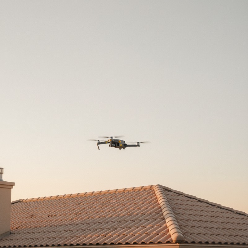
It takes off, photographs and returns on its own. The photos land on your phone while it is still flying: no memory card to pull out.
03
Your model arrives
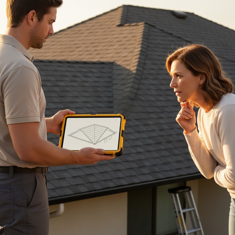
A quarter of an hour after landing the model is ready. Open it, take the measurements, show it to your customer.
Survey
22.08.2026
Photos
54
Processing
14 min
Measurements obtained
49,3 × 47,3 × 10,8 m
We don't hand you a file: we hand you the answer
A 3D model is a file nobody knows what to open with. What you need on site is a number, in the language of your trade.
94 m²for roofers
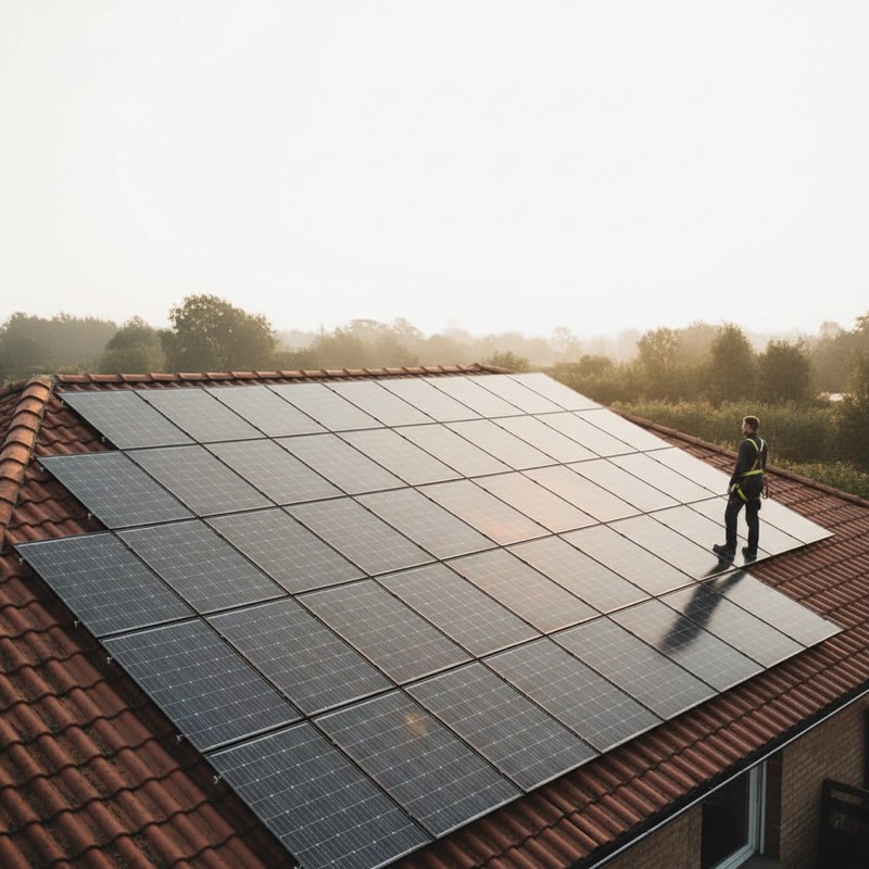
18 panelsfor solar installers
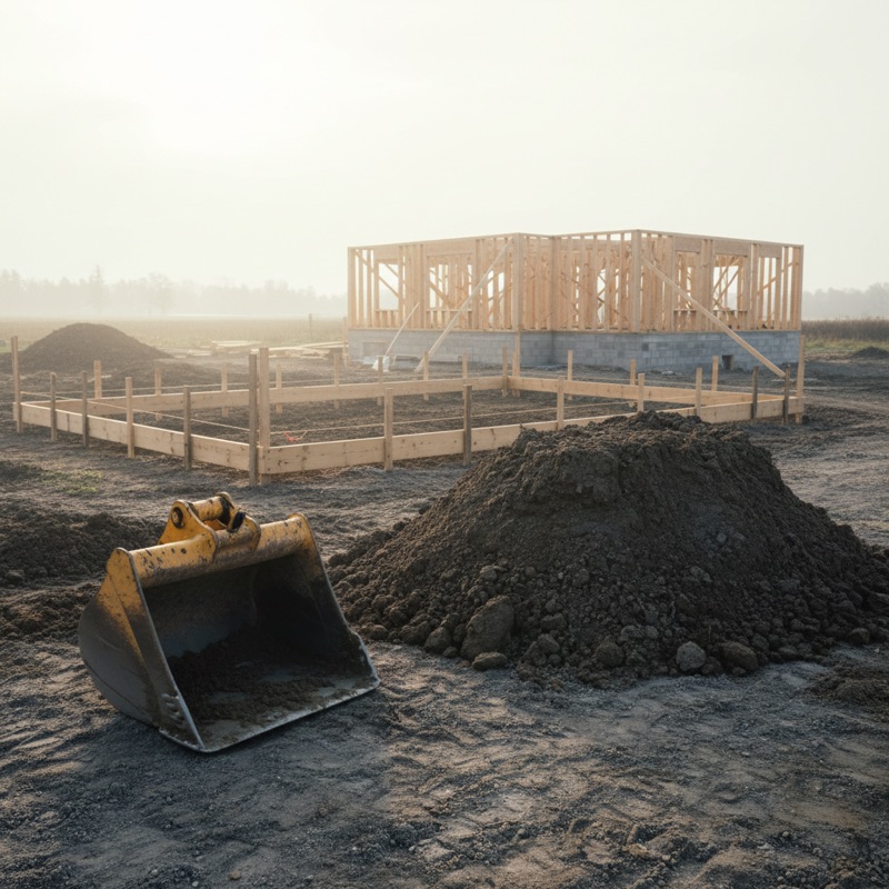
210 m³for pricing an excavation
37 m² damagedfor loss adjusters
Measurements are indicative and the level of detail depends on flight altitude: about three centimetres at twenty metres, fourteen at a hundred. Check them before ordering materials. How accuracy works
Less paperwork than you think
Rules change from country to country, so check yours before the first flight: your civil aviation authority spells them out on its website. In much of Europe and in Canada a drone under 250 grams needs no pilot exam at all, even when you fly for work. Elsewhere it does: in the United Kingdom a camera drone from 100 grams up needs the free Flyer ID test, and in the United States any flight for work needs the FAA Part 107 certificate, whatever the drone weighs. Two things come up almost everywhere: registering as the operator, and third-party liability insurance, compulsory by law in some countries and plain common sense in the rest. None of it is hard, and you do it once, not before every flight.
You pay for the surveys you run
No compulsory subscription, no monthly minimum. What a survey costs depends on how many photographs it brings: one credit up to thirty, two up to eighty, three above eighty.
Prices in euros, VAT excluded: the rate for your country is added at checkout. Guided flight needs a compatible DJI drone and an Android phone; for processing alone, your photographs are enough.
Your first survey can happen tonight
Download the app, sign up, and you have two surveys to spend. If it turns out you don't need it, you have spent nothing.